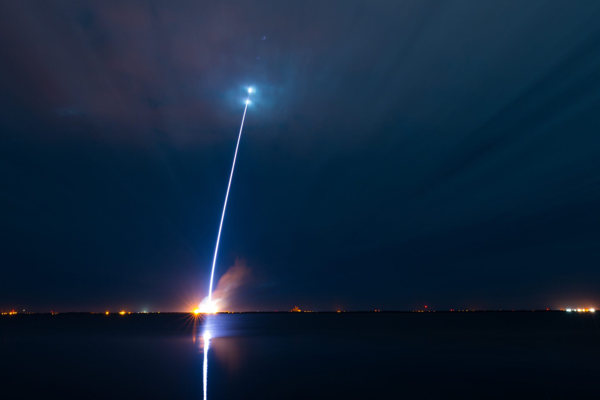
Lifting-off from the Taiyuan Satellite Launch Center, Northern China at 1850 GMT on 4 October 2019, a Long March-4C (CZ-4C) rocket carried the Gaofen-10R satellite into Low Earth Orbit (LEO). The satellite has entered into a sun-synchronous low Earth orbit inclined at 97 degrees to the equator. Gaofen-10R is a replacement satellite for the Gaofen-10 unit which was lost during its launch in 2016. While they might have a partial military use, Gaofen-series are officially “civilian” satellites providing Earth-imagery data for the purposes of “land survey, urban planning, crop yield assessment, and disaster prevention, mitigation and monitoring.”
Comment by Phil Hylands: Due to its launch time and subsequent estimated Equator crossing time of circa 1900 GMT Seradata believes that the Gaofen-10R unit is most likely to be a radar imaging satellite, as presumably, was also its lost Gaofen-10 forerunner which it is replacing. This would make them unusual as most of the other Gaofen units are believed to carry optical imaging payloads.
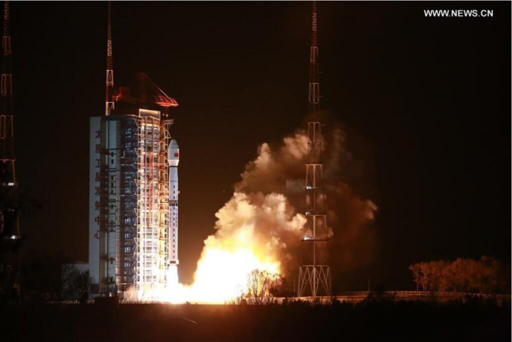
The Long March-4C rocket lifting-off with the Gaofen-10R satellite. Courtesy: Xinhua


