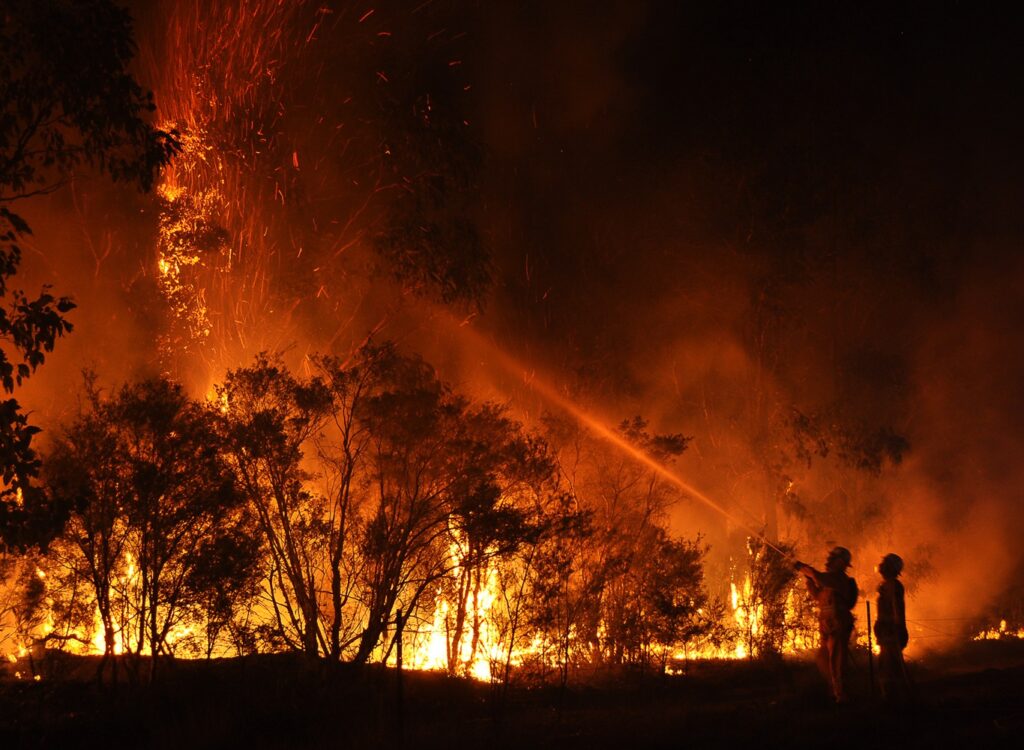
My dad was a firefighter, just not the kind that puts out flames in buildings. Instead, he fought fires in forests, from the air. He ‘bombed’ fires with water and retardant, to save communities and wildlife. His crew used radar to track where lightning was striking, calculate wind direction, and predict where the fire would move. However, the technology my dad used, from the ’80s and ’90s, is no longer up to task, given the size, and number, of forest fires these days.
Wildfires are mainly a natural occurrence – though, sadly, some are caused by humans accidentally or otherwise – and they are often vital to the ecosystem. However, the huge increase in their frequency and scale are not. The US National Oceanic and Atmospheric Administration (NOAA) says that climate change it has been the main driver of the increase in ‘fire weather’ which makes large scale wildfires more likely according to a 2021 study supported by the organisation. An earlier study found that human-caused climate change exacerbated the drying of organic matter. Consequently, the number of large fires recorded between 1984 and 2015 in western US doubled.
Fires continue to rage around the West Coast of North America. Last week, a wildfire tore through a Canadian gem, Jasper National Park, where it burned houses, businesses, and devastated the natural environment. It is hard not to feel hopeless seeing photos that show how quickly it spread. European nations around the Mediterranean have also become increasingly affected by the hazards of wildfires. Yet, there is hope. Today, space technology is providing some of the most innovative operational tools to crews on the ground, and in the air, to combat these fires.
Courtesy: World Health Organisation
Earth Fire Alliance, a non-profit organisation, is planning to build and launch a new satellite constellation called FireSat in partnership with US satellite manufacturer Muon Space. With the first three Muon Halo-bus satellites, the constellation will be able to observe every point on Earth at least twice a day. The satellites have a ground resolution of 5 m and have an observational swath width of 1,500 km. They will employ their 6-band multispectral infrared (IR) instruments to find and monitor wildfires across every stage of their lifecycle.
It is not just in the US that efforts are being made to counter wildfires. In the UK, a company called SatVu is introducing video feed from its heat mapping spacecraft to help track wildfires in near real time. Last year a German firm, OroraTech, ordered eight more thermal imaging satellites from Spire Global to expand its wildfire-monitoring constellation.
You might also have noticed when using Google Maps that a wildfire layer has been added, empowering the general public with data on fires that may impact them, so that they can prepare and get to safety. We have incredible technology in space, benefiting us back on Earth.


